|
|
Sampling Activities
 |
 |
Phase III Sediment Sampling QAPP Amendment [September 2016]
This QAPP Amendment served as the approved planning document for a surface sediment sampling program intended
to fill data gaps prior to the preparation of the Remedial Investigation and Feasibility Study Reports. Click
here
to download the QAPP Amendment.
Phase III Field Report [June 2017]
The Phase III Sediment Investigation Field Report documents the field sampling activities at 231 sediment
sampling locations selected for Phase III. The samples were collected on a regular grid to explore
contaminant distributions in Newark Bay. Click
here to download the Phase III Field Report.
The Phase III sediment data will be provided with the Remedial Investigation Report rather than via
submittal of a Phase III Data Report.
Biota Sampling to Support Risk Assessments
The Potentially Responsible Party (PRP), Tierra Solutions, Inc., planned and conducted crab tissue, clam
tissue and co-located surface sediment, fish tissue, and Sediment Quality Triad (SQT) sampling to support
the baseline human health and ecological risk assessments. The sampling was conducted from 2014-2016.
The following planning documents and reports summarize the sampling effort:
Crab/Clam Quality Assurance Project Plan [QAPP; August 2014]
The Final Crab/Clam QAPP served as the approved planning document for the collection and analysis of blue crab,
soft-shelled clam, and co-located surface sediment from intertidal areas in Newark Bay. Click
here to download
the QAPP.
Fish Tissue QAPP [October 2014]
The Final Fish Tissue QAPP served as the approved planning document for the collection and analysis of fish tissue
and blue crab tissue from the subtidal flats and channels of Newark Bay, including fish pathology examinations.
Click here to download the QAPP.
Crab/Clam/Fish Field Report [June 2017]
The Environmental Sample Collection Report (aka the Crab/Clam/Fish Field Report), documents softshell clam and
co-located sediment sampling, blue crab tissue collection, and fish tissue collection from 2014-2016. Click
here to download the report.
Crab and Clam Data Report [May 2017]
The Crab and Clam Data Report presents the results from the blue crab, softshell clam tissue and co-located
surface sediment sampling program. Click here
to download the Crab and Clam Data Report.
Fish Data Report [April 2017]
The Fish Data Report presents the results from the fish tissue collection program, which was conducted in three
phases (fall 2014, spring/summer 2015, and spring 2016). Click
here to download the Fish Data Report.
SQT and Porewater QAPP [August 2015]
The Final SQT QAPP served as the approved planning document for the collection and analysis of benthic invertebrate
tissue, co-located sediment, and sediment porewater samples, and subsequent benthic toxicity and bioaccumulation
testing. Click here
to download the QAPP.
SQT and Porewater Field Report [September 2017]
The SQT Field Report documents the collection of benthic invertebrate tissue, co-located sediment samples, and
sediment porewater samples from Newark Bay for the SQT evaluation, including ex-situ porewater chemistry
analyses using passive samplers. Click here
to download the report.
SQT and Porewater Data Report [September 2017]
The report presents the results from the SQT and porewater sampling, including:
- Newark Bay benthic invertebrate community data.
- Surface sediment analytical results and porewater chemistry data collected using passive samplers
(ex-situ porewater analyses).
- Sediment toxicity testing results using a lab-supplied, standard amphipod test species, Leptocheirus
plumulosus.
- Sediment bioaccumulation testing results using a lab-supplied polychaete test species, Nereis virens.
Click here
to download the report.
|
Phase I and Phase II Data Evaluation and Analysis Report [September 2014]:
The Data Evaluation and Analysis Report (DEAR) presents data
evaluations conducted using the Phase I (2005), Phase II (2007), and other Newark Bay sediment core data and broadly describes the locations
of comparatively elevated detections of site contaminants in the Newark Bay Study Area. Click
here
to download the DEAR text, tables, and figures and
here
to download the appendices.
Newark Bay Bathymetric Surveys [2012-2013]:
Tierra Solutions, Inc. and their subcontractors completed a bathymetric survey of Newark Bay
in 2013. The files for the report and bathymetric data generated from the survey are available for download
here.
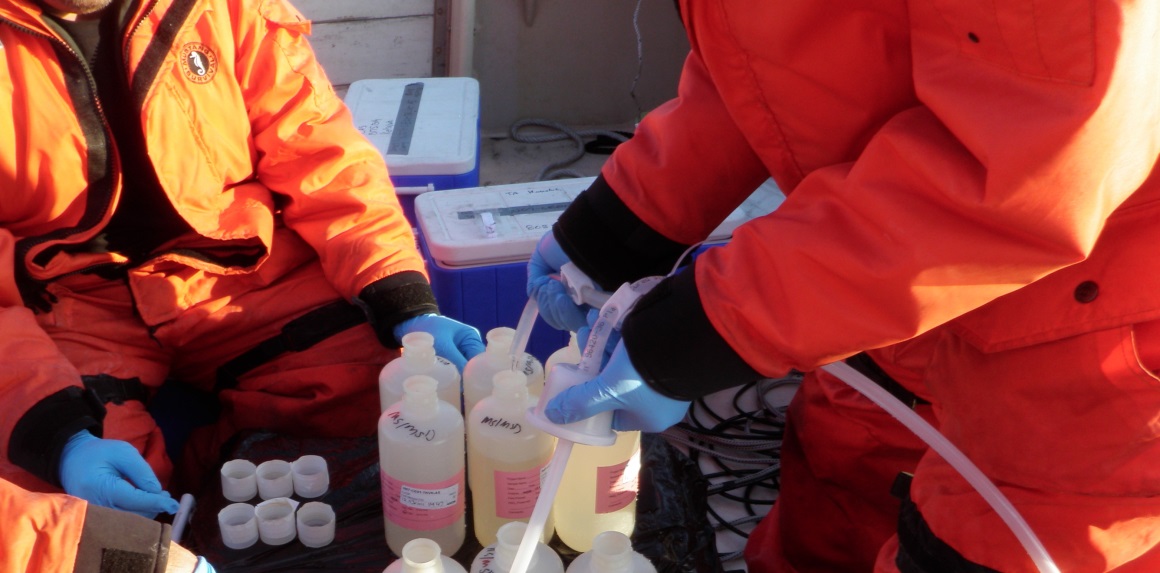
Large Volume Chemical Water Column Monitoring Program [December 2012 - June 2013]:
Large volume surface water samples were collected from the Lower Passaic River and Newark Bay
and separated into filtered solids and dissolved contaminant fractions for analysis for Dioxins
and PCBs. The sample analysis was intended to help understand the transport of
sediment-associated, organic contaminants in the water column. Stations were located throughout
the 17-miles of the Lower Passaic River, around Newark Bay, and on the major tributaries of the
Lower Passaic River and Newark Bay. The data will be used to evaluate risks to human health and
biota from exposure to surface water and to calibrate the model that simulates fate and transport
of contaminants in the river and bay. The work plan that details the sampling is posted in the
Digital Library, under "Current Passaic River Sampling Activities". A report of findings
regarding the initial two sampling events is forthcoming.
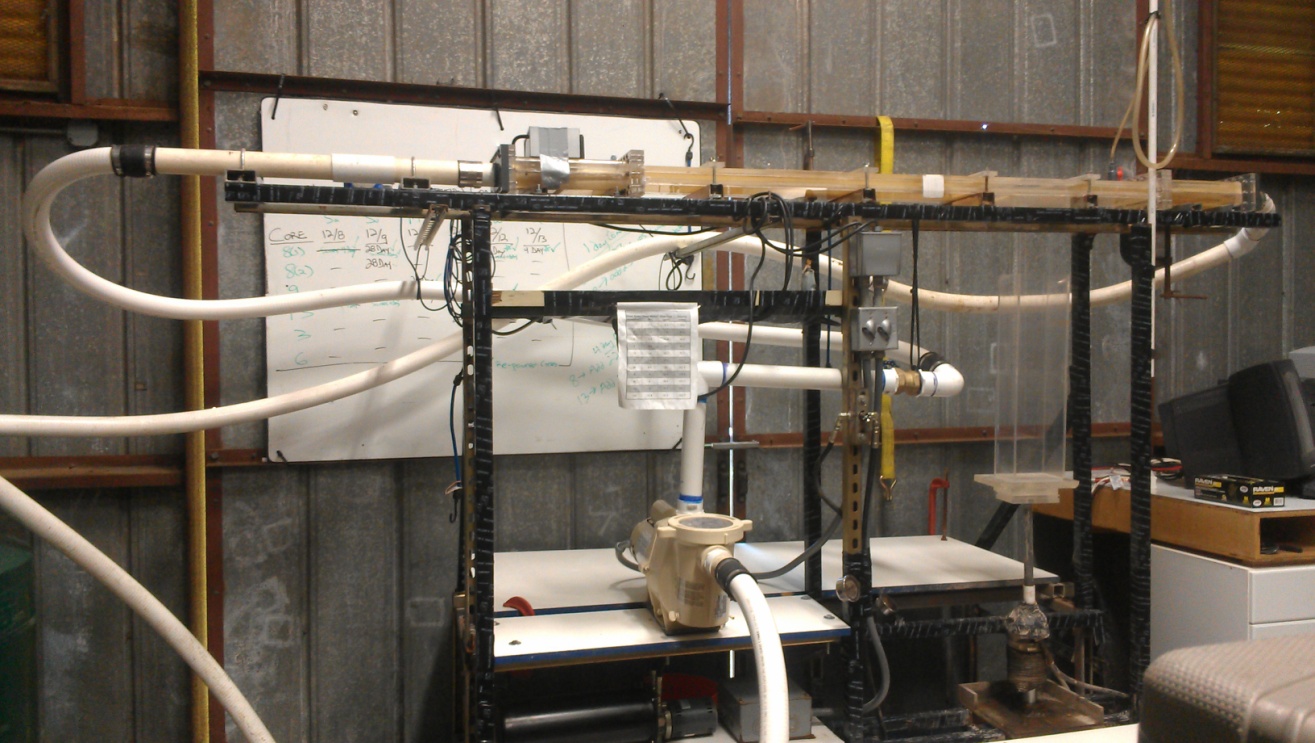
Sediment Erosion Rate Studies [October 2012]:
EPA conducted a SEDFlume (Sediment Erosion at Depth Flume) analysis of 29 sediment cores collected from the Newark Bay Study Area in October 2012.
In addition, surface sediment grab samples were collected from five locations within the study area and used to create laboratory ‘consolidation
cores’ to study sediment settling and erosional properties. The field-collected cores and laboratory-prepared consolidation cores were analyzed
with the SEDFlume device, which passes water over a core at a selected flow rate to erode the sediments and estimate erosion rates as a function
of shear stress and core depth. Each core was sub-sampled periodically during the analysis for engineering properties. The data was used to
estimate the critical shear stresses for sediment erosion, a parameter important to the Newark Bay sediment transport model.
Small Volume Chemical Water Column Monitoring Program [August 2011 - June 2013]:
Surface water in the Lower Passaic River and Newark Bay was collected and analyzed
for a suite of contaminants to characterize chemical concentrations in the water column.
Relatively small volumes of water (about 2 liters or less per contaminant group being analyzed)
were collected under various flow conditions (routine, high and low flows) over the different seasons
of the year. Stations were located throughout the 17-miles of the Lower
Passaic River, around Newark Bay, and on the major tributaries of the Lower Passaic River
and Newark Bay. The data will be used to evaluate risks to human health and biota from
exposure to surface water and to calibrate the model that simulates fate and transport of
contaminants in the river and bay. The work plan that details the sampling is posted in the
Digital Library, under "Current Passaic River Sampling Activities". A report of findings is forthcoming.
Phase I and Phase II Field and Data Report
Released [October 2008]:
To define the nature and extent of contamination in
the Newark Bay Study Area, two phases of work have been
performed so far, in 2005 and 2007. Although the data
from these phases of work were provided electronically
via this website, we are now releasing a report that
compiles the Phase I and Phase II data, summarizes the
work done, and includes graphical presentations of
surface sediment concentrations and maximum sediment
concentrations at each sampling location. Click
here to download the Field and Data Report.
EPA Approves Report on the Biologically
Active Zone: [October 2008]
One of the goals of the Phase I work performed in the
Newark Bay Study Area was to estimate the depth of the
biologically active zone (BAZ) throughout the different
areas of the bay. A draft BAZ Report was produced as a
result of the work done in 2005. Based on comments from
the government partners, the BAZ Report was revised, and
the final report has now been approved. Click
here to download the Final BAZ Report.
Phase II RIWP Sampling Results Released
[August 2008]:
Phase II RIWP sampling was implemented from October
23, 2007 through December 14, 2007. Fifty-two sediment
cores were targeted for sampling, however, two needed to
be abandoned due to lack of fine-grained sediment at
those locations. The sediment sample analytical results
from the Phase II RIWP effort are available in Microsoft
Access database format. To download and review the Phase
II RIWP analytical data, click
here and for the sample location map, click
here.
Phase 2 Remedial Investigation Work Plan
Approved [October 2007]:
EPA approved the Newark Bay Phase 2 Remedial
Investigation Work Plan (RIWP) developed by
Tierra Solutions, Inc. in accordance with the
requirements of an EPA Administrative Order on Consent
dated February 2004. The RIWP briefly summarizes the
Phase 1 sediment sampling program, describes the
Phase 2 project quality objectives for the field work,
and outlines the tasks performed during the
Phase 2 sediment investigation program. The primary
purpose of Phase 2 was to characterize sediments in
select areas of Newark Bay that have had significant
accumulation of sediments since 1940. The
characterization of sediments during Phase 2 will
enhance EPA's understanding of contaminant deposition
and distribution patterns over time in Newark Bay and it
will help identify upland sources of contaminants.
Collection and analysis of sediment cores was conducted in 2007 within varied geomorphic units in
Newark Bay (e.g., navigation channels, sub-tidal flats). Phase 2 work is
generally considered to be an extension of Phase 1 work.
The Phase 2 RIWP includes an Investigation Work Plan,
Sampling and Analysis Plan, Site Management Plan, and
Quality Assurance Project Plan (Volumes 1 & 1a), and a
Health and Safety/Contingency Plan (Volume 2). Click
here to download the files that comprise the
EPA-approved Phase 2 RIWP (Due to the large size of the
file, downloading may take a few minutes). Click
here to download a copy of the approval
letter.
Click
here to download the 2 sets of minor
modifications that have been made to the workplan based
upon observations made while implementing the field
work.
Phase I RIWP Sampling Results [July 2006]:
The sediment sample analytical results from the Phase I RIWP effort are
available in Microsoft Access database format. To download and review the Phase
I RIWP analytical data, click
here and for the sample location map, click
here.
Phase I Remedial Investigation Work Plan
[September 2005]:
The Phase I Remedial Investigation Work Plan (RIWP)
was developed by Tierra Solutions, Inc. in
accordance with the requirements of the EPA
Administrative Order on Consent. The Phase I RIWP
includes an Inventory and Overview Report of Historical
Data (Volume 1), Investigation Work Plan/Sampling and
Analysis Plan/Site Management Plan/Quality Assurance
Project Plan (Volume 2), and Health and
Safety/Contingency Plan (Volume 3). The numerous files
that comprise the USEPA-approved Phase I RIWP can be
downloaded and reviewed from this website
(Please navigate to the digital library, click on "Public Documents" on the left hand side,
then expand the files listed under branches beginning wih "Path: Current NB
Sampling Activities" to find the file list for
each volume).
The Phase I RIWP presents an initial geomorphological
site model and RI/FS project goals; the included
Investigation Work Plan addresses investigation of the
horizontal and vertical distribution and concentration
of selected contaminants in the NBSA sediments. The
Investigation Work Plan calls for the collection and
laboratory analysis of samples from 69 sediment cores
located within varied geomorphic units in Newark Bay
(e.g., navigation channels, tidal flats, industrial
waterfront areas).
|
 |
 |
|
|